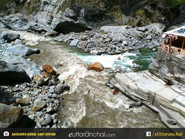
Dhauliganga also known as Dhauli River is one of the six source streams, of the holy Ganga River. The Dhauliganga in the Garhwal division of Uttarakhand emerges from Deovan Himani and ends at Vishnuprayag.
This river has a length of 94 km.Dhauliganga rises at an altitude of 5,070 metres in the Niti Pass at Chamoli district of Uttarakhand. The river is joined by Rishi Ganga River at Raini about 25 km from Joshimath. Dhauliganga meets the Alaknanda River at Vishnuprayag, at the base of Joshimath Mountain in Uttarakhand.
Tapovan which is famous for its hot springs is also situated on the banks of Dhauliganga. The towns situated on the bank of Dhauliganga River in Garhwal are Segri, Surajthota, Lata Kharak, Lata, and Raini. The hydro projects on Dhauliganga to be set up are Lata Tapovan in Chamoli district, Maleri Jhelum in Chamoli district and Jhelum Tamak in Chamoli.