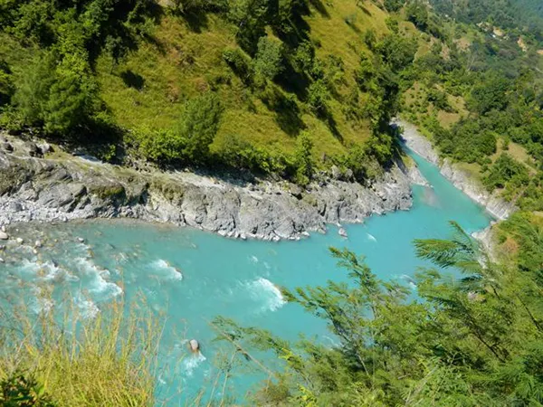
Namik Glacier situated in the south-east of Nandakot peak is the source of eastern Ramganga River. Like Gaumukh for Ganga in Gangotri glacier, this river also originates from a 'Gau-Mukh'(a cow-mouth shaped mountain). A small gorge in the west of this river separates it from Kafni and Saryu River.
Ramganga East River flows in the southern direction towards Bhukunda. At Rameshwar, it meets with Saryu river and from here it flows in the eastern direction, towards Pancheswar where the confluence of Saryu and Kali River takes place.
This river covers a distance of 108 km in Kumaon region of Uttarakhand. The river passes through majestic peaks like Varavati, Saintitalla, Valdiya Mall, Pungrau and Vail. The region of Eastern Ramganga River is also known as Shira-Didihat. The land which sprawls on the bank of this river is very fertile. The known places situated on the bank of this river are Hathiya Deval, Didihat, Gangolghati, Chaukori, Patal Bhuvneshwar, Narayan Ashram etc.