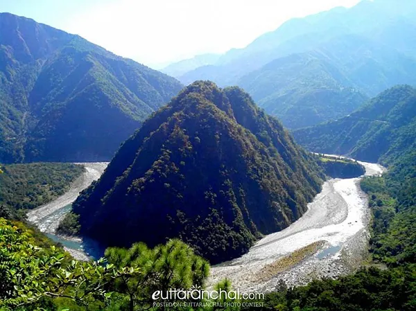
The Yamuna is a sacred river of India according, to Hindu mythology. Yamuna River also known as Jamuna originates from Yamunotri Glacier, perched at an elevation of 6,387 metres on the southwestern slopes of Bunderpooch Mountain, in the uppermost region of the Lower Himalayas in Uttarakhand. Then the river flows in the southward direction for about 200 km, passing the Lower Himalayas and the Shivalik Hills Range.
The Yamuna River is the longest and also the second largest tributary of Ganga River. This river is about 1,376 km long and the basin is about 366,223 km square. There are several canals of Yamuna River in the Indo-Gangetic Plain. The water of these canals is used for irrigating the fields. The Sutlej-Yamuna Link is being constructed on the westwards near the Yamuna River’s headwaters, which will pass through Punjab region.
Yamuna River passes through Uttarakhand, Haryana, and Uttar Pradesh and while passing Himachal Pradesh, it later moves to Delhi. On its way, the river meets some of its tributaries, of which Tons River is the largest tributary as well as the longest tributary of Uttarakhand. It rises from Har-Ki-Doon Valley and merges with Kalsi, near Dehradun. From Yamunotri to Wazirabad in Delhi, about 375 km the water of Yamuna is of good quality.
After the polluted water is discharged from the 15 drains between Wazirabad barrage and Okhla barrage, the river becomes highly polluted. The Yamuna Action Plan has been implemented since 1993, by National River Conservation Directorate (NRCD) of the Ministry of Environment and Forests, to regulate the pollution and to keep a check on the quality of water.