Kalapani in Dharchula
Kalapani is also known as Vyas Valley as it is said that the Great Sage Vyasa meditated here. A popular attraction in Kalapani is the Vyasa cave where Ved Vyasa is believed to have stayed for some time.
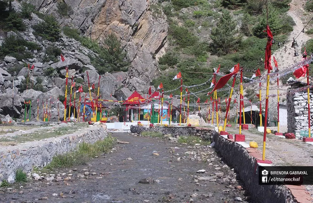
The serene location of Kalapani and a wide range of flora and fauna make Kalapani an ideal tourist attraction. The famous Kali temple, Vyasa cave, Kalapani spring, and the nearby villages of Gunji and Budhi are interesting places to visit.
Kalapani : The Source of Kali River
Kala Pani is the source of famous Sharda or Kali river of India. Both India and Nepal claimed that this area belongs to their region. The source is sacred in Hindu religion and a temple is also situated in the premises. Travelers or pilgrimage of Kailash Mansarovar yatra and Aadi Kailash Yatra also visit this place on their trek route.
Dispute with Nepal over Kalapani
The Kalapani area is in India’s control but Nepal claims the region because of historical and cartographic reasons. The area is the largest territorial dispute between Nepal and India consisting of at least 37,000 hectares of land in the High Himalayas.
Nepal has published a revised official map incorporating the territory from the Limpiyadhura source of the Kali to Kalapani and Lipulekh pass in the northeast of the triangular region as its territory. On May 22, the Cabinet led by Prime Minister K.P. Sharma Oli registered a constitution amendment motion to grant constitutional status to the map.
Location & How to Reach Kalapani
Bus service from Both Delhi and Dehradun are available to Pithoragarh. From where you can travel by using public transport till Dharchula and then sharable cab to Tawaghat. Also, If you miss the bus for Pithoragarh, you can take a bus till Almora and then get a bus/taxi from Almora to Pithoragarh.
From Pithoragarh, you can hire a taxi till the last motorable road (preferably till Dharchula). From then on, you can trek to Kalapani or Vyas Valley.
Trek to Kalapani from Tawaghat
The trek of Kalapani starts from Tawaghat , a small town which is situated in Dharchula region of Pithoragarh. Here is a short info about the route:
- Tawaghat to Narayan Ashram - 35 km by road
- Narayan Ashram to Sirkha - 6 Km by Trek
- Sirkha to Gala - 14km by Trek
- Gala to Malpa - 12km by Trek
- Malpa To Budhi - 8km by Trek
- Budhi village to Chiyalekh To Garbayang - 3 + 5 km by Trek
- Garbayang to Gunji village - 9km by trek
- Gunji to Kalapani - 9km by Trek
Location of Kalapani
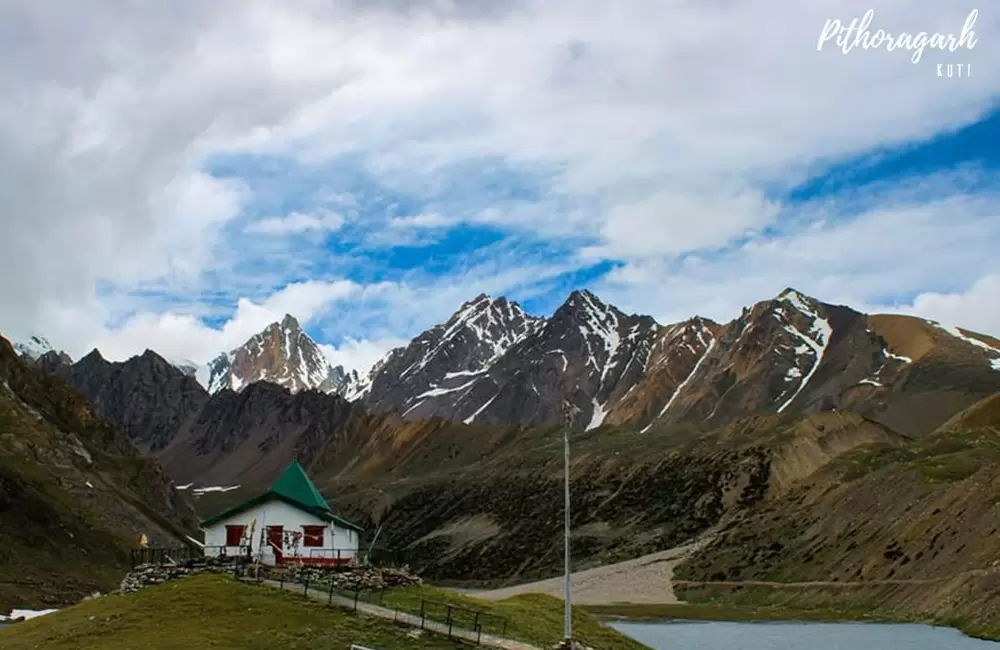
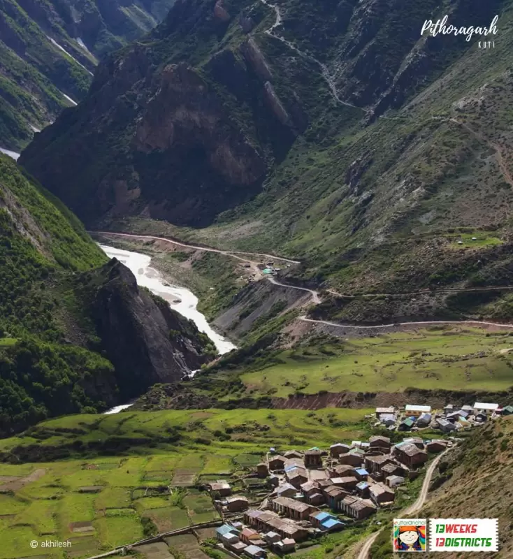
Kalapani region is located in the easternmost corner of Pithoragarh district and shares broder on the north with the Tibet Autonomous Region of China and Nepal in the east and south. The region resembles a slice of cake wedged in between Limpiyadhura, Lipulekh and Kalapani.
Read How to Reach guide for Dharchula.
What is Kalapani famous for?
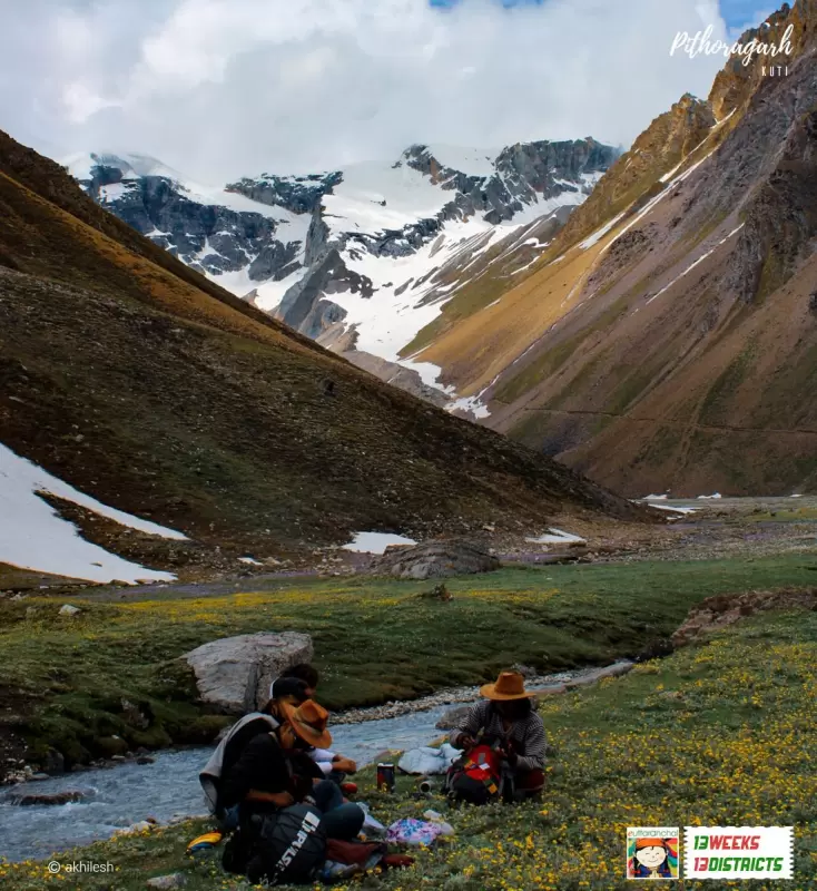
Kalapani is popular place for following activities/ interests - Adventure, Trekking.