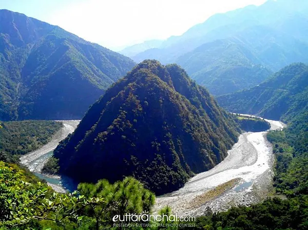
1. Alaknanda River
The Alaknanda River flowing in Uttarakhand is one of the two head-streams of holy river Ganga. The source of Alaknanda River is the confluence of Satopanth Glacier and Bhagirathi Kharak Glacier. The length of Alaknanda River is 190 km and the basin is about 10,882 km square. Alaknanda River is considered as the source stream of Ganga River.
2. Bhagirathi River
The Bhagirathi River is a Himalayan River which flows in Uttarakhand state. It is one of the two headstreams of the pious Ganga River. This river has a length of 205 km and basin about 6,921 sq km. According to Hindu mythology, it is believed that Bhagirathi River is the source-stream of Ganga River.
3. Bhilangna River
Bhilangna River in Uttarakhand India is a major tributary of Bhagirathi River, which is the source-stream of Ganga River. The length of this river is 80 km. Bhilangna River rises at the foot of Khatling Glacier, perched at an elevation 3,717 metres, about 12,195 feet above sea level.
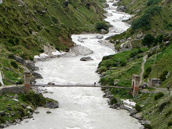
4. Dhauliganga River – Garhwal
Dhauliganga also known as Dhauli River is one of the six source streams, of the holy Ganga River. The Dhauliganga in the Garhwal division of Uttarakhand emerges from Deovan Himani and ends at Vishnuprayag.
5. Dhauliganga River – Kumaon
In the Kumaon division of Uttarakhand, the Dhauliganga River originates from Govan Khana Himani and exists at Tawadhar. Dhauliganga of Kumaon is a tributary of Kali River. It meets Kali River also known as Sharda River at Tawaghat in Pithoragarh district of Uttarakhand.
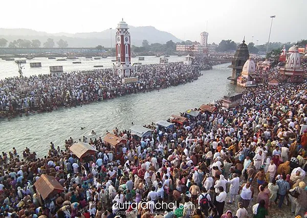
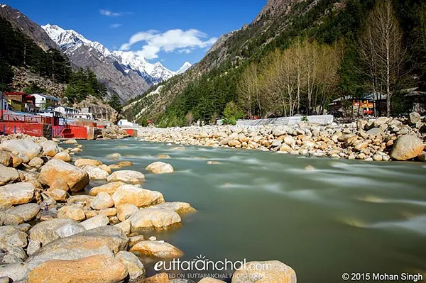
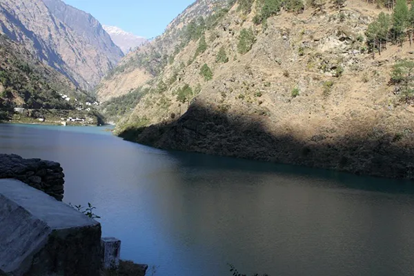
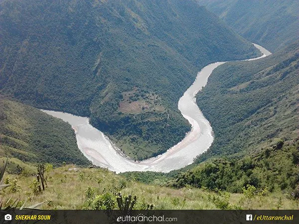
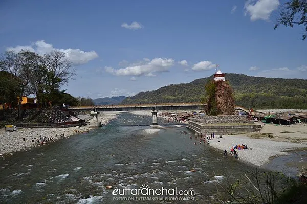
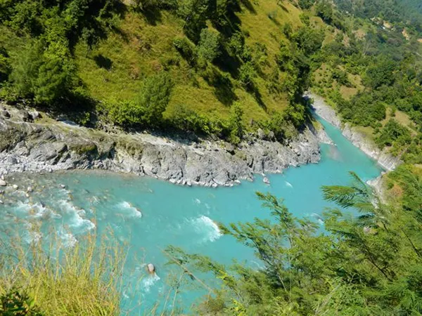
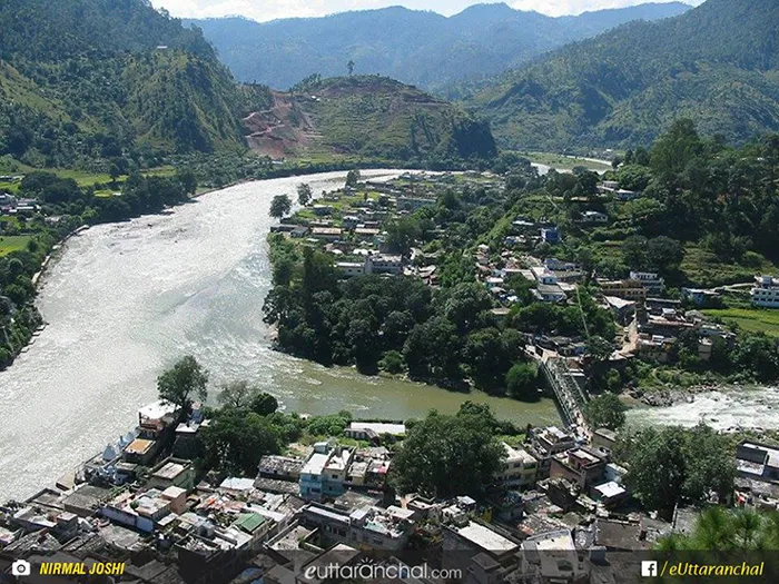
6. Ganga River
The Ganga River also referred to as the Ganges emerges from Devprayag and exists at Haridwar, in Uttarakhand. The source of Ganga River is Gangotri Glacier, Satopanth Glacier, Khatling Glacier and the melted water from the snow-clad peaks of Nanda Devi, Trishul, Kedarnath, Nanda Kot and Kamet. The Ganga River begins at the confluence of the holy rivers Bhagirathi and Alaknanda at Devprayag. The length of this river in Uttarakhand is about 96 km.
7. Gaula River
The Gaula River is a Himalayan river which flows in India. The source of this river is Paharpani and the end point is Kichchha. The length of this river is about 103 km. The Gaula River emerges from the Sattal Lakes in Uttarakhand. It flows through Kathgodam, Haldwani and Shahi. Then it merges with Ramganga River, a tributary of Ganga, which is about 15 km northwest of Bareilly in Uttar Pradesh.
8. Gori Ganga River
Gori Ganga also referred to as Ghori Ganga and Gori Gad is a river in the Munsiyari tehsil of Pithoragarh district, in Uttarakhand. The source of Gori Ganga is Milam Glacier, in the northeast direction of Nanda Devi and the end point is Jauljibi where it joins Kali River.
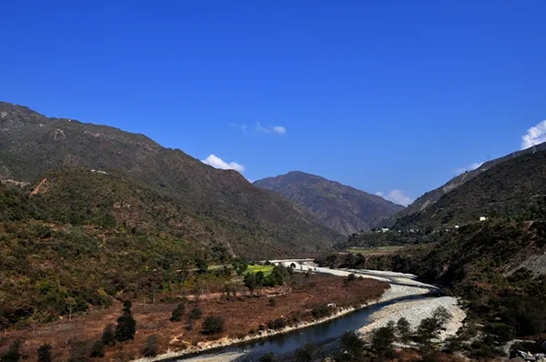
9. Kali River
The Kali River also known as “Sharda River”, “Kutiyangdi” or “Mahakali River” is a Himalayan river, which flows through Uttarakhand. The traditional source of Kali River is LipmpiyaDhura in Pithoragarh district of Uttarakhand, 3,600 metres about 11,800 feet above sea level. The length of this river is 252 km and the basin area is 18,140 square km. Kali River is the headwater stream of the Mahakali River.
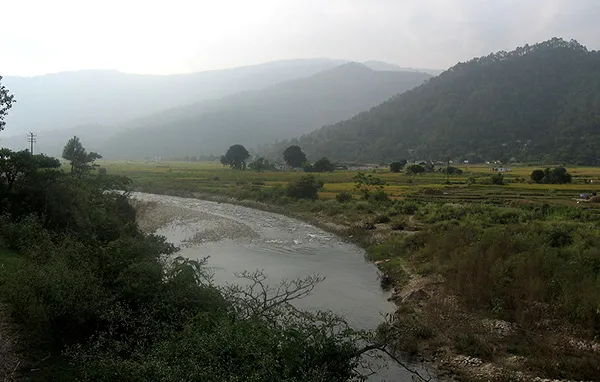
10. Kosi River
Kosi is a Himalayan river which originates from Dharpani Dhar (2,500 m) in Baramandal region of Almora district in Kumaon, Uttarakhand. After emerging from Dharpani Dhar, Kosi river flows through the valleys and towns of Ramnagar Uttarakhand, then it enters the Tarai regions of Uttar Pradesh, where it joins Ramganga river.
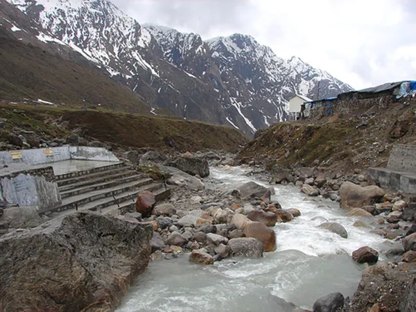
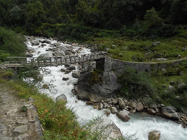
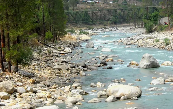
11. Mandakini River
Mandakini River emerges from Chorabari Glacier near Kedarnath in Uttarakhand, India. This river is a tributary of Alaknanda River and is fed by Vasukiganga River at Sonprayag. The river merges with Kaliganga near Kalimath temple and with Madhyamaheshwar Ganga near Ukhimath.
12. Nandakini River
Nandakini is one of the five tributaries of the holy Ganga River. The mighty river originates from Nanda Ghunghati and exists at Nandprayag.
13. Nayar River – Eastern
Nayar River (eastern) is a tributary of holy Ganga River. It emerges from Dudhatoli ranges of Garhwal in Pauri district of Uttarakhand. The length of eastern Nayar River is 94 km. The known places situated nearby this river are Bharani Sain, Dudhatoli, Thalisain, Baijron, Bironkhal, Manjyari, Khairsain, etc.
14. Nayar River – Western
Like eastern Nayar, western Nayar River also originates from Dudhatoli ranges of Garhwal in Pauri district of Uttarakhand. Western Nayar is also known as Paschimi Nayar. The length of the river is 91 km. It is one of the tributaries of holy Ganga River.
15. Pindar River
Pindar River also known as Pindari River is a Himalayan river, which emerges from Pindari Glacier in Bageshwar district of Uttarakhand. The river has a length of 105 kilometres.
16. Ramganga – Western
Ramganga West River emerges from Dudhatoli ranges in Pauri Garhwal district of Uttarakhand. The length of Ramganga River is 155 km and the catchment area of the basin is 30,641km square. This river flows to the southwest from Kumaun Himalayas. Ramganga is a tributary of Ganga, which originates from the high-altitude zone of 800m to 900 m.
17. Ramganga River- Eastern
Namik Glacier situated in the south-east of Nandakot peak is the source of eastern Ramganga River. Like Gaumukh for Ganga in Gangotri glacier, this river also originates from a 'Gau-Mukh'(a cow-mouth shaped mountain). A small gorge in the west of this river separates it from Kafni and Saryu River.
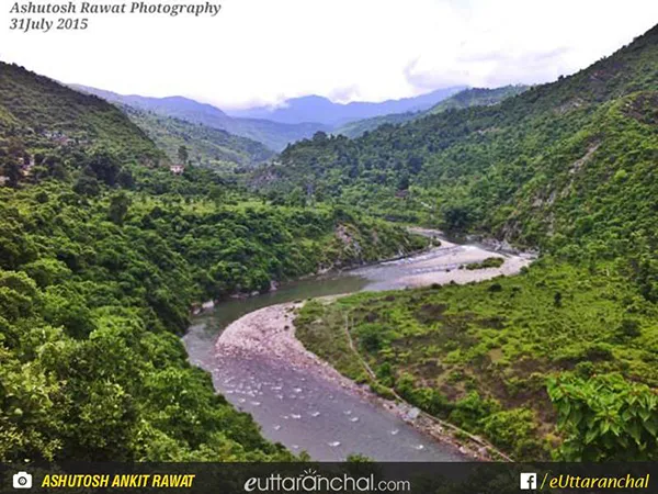
18. Saryu River
Saryu (Sarju) is a Himalayan river which flow in the Kumaon region of Uttarakhand. The source of this river is Sarmool and the end point is Pancheshwar. In local dialect, Saryu river is referred to as 'Sarju'. Bhuni, Sup and Khati are the famous 'Ghats' situated on the Bank of this river. The Saryu river flows to the south-west direction and at Talla Danpur region it meets with 'Kanal Gad'.
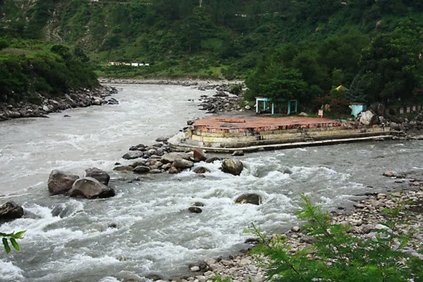
19. Tons River
Tons River is a major perennial Himalayan river which flows through Garhwal division of Uttarakhand and touches Himachal Pradesh. It is the largest tributary of Yamuna River, having a length of 148 km. The source of this river is Bandarpuch Mountain. Tons River carries more water than Yamuna River and meets it below Kalsi, near the town of Dehradun in Uttarakhand.
20. Yamuna River
The Yamuna is a sacred river of India according, to Hindu mythology. Yamuna River also known as Jamuna originates from Yamunotri Glacier, perched at an elevation of 6,387 metres on the southwestern slopes of Bunderpooch Mountain, in the uppermost region of the Lower Himalayas in Uttarakhand. Then the river flows in the southward direction for about 200 km, passing the Lower Himalayas and the Shivalik Hills Range.