Kanakata Pass Trek Tour Packages
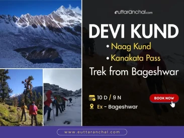
10 Days / 9 Nights
₹19,900
There are lot of questions while planning a journey. To ensure that your preparations run smoothly, we have the answers to the questions most frequently asked about travelling to and in Kanakata Pass Trek. Kanakata Pass Trek useful information for travellers with reliable local advice. Latest Kanakata Pass Trek Frequently Asked Questions and Answers for your upcoming visit to Kanakata Pass Trek. Get all the solutions to your query with eUttaranchal Travel Help Desk.
Kanakata Pass Trek is famous as Hill Station, Adventure, Trekking, Camping, High Altitude Mountain Pass, . Nearest Airport from Kanakata Pass Trek is Pantnagar Airport and Nearest Railway Station is Kathgodam Railway Station.
Kanakata Pass is situated in Sunderdunga valley in the Bageshwar district of Uttarakhand state. Kanakata Pass trekking route passes through Sundardhunga valley, Baluni Top, Sukram Valley from Jatoli.
Kanakata Pass is a high-altitude pass trek that lies at a height of 4483 mts above sea level.
You can check all the important things to carry for trekking. Check out the list: Important equipments for trekking
Bageshwar is the base of the Kanakata Pass trek.
Pantnagar Airport is the nearest airport and Kathgodam Railway Station is the nearest railway station for Kanakata Pass in Uttarakhand.